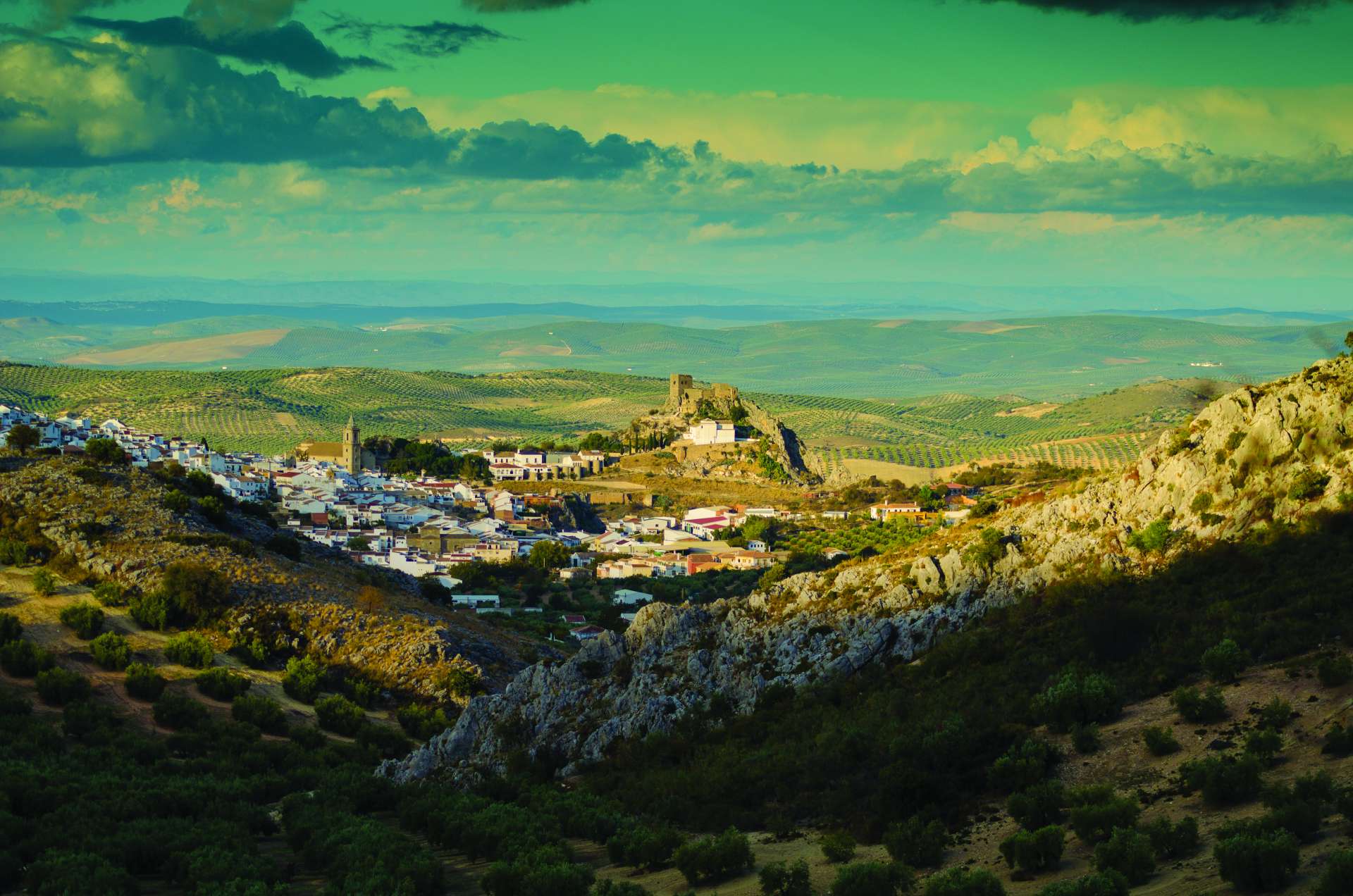
Fantastic route through the Natural Park of Sierras Subbéticas in Córdoba, in the heart of Andalusia. Despite being an area relatively close to our residential locations, it is quite unknown to us. We promise to explore these mountains thoroughly because they have more than enough attractions.
These mountains, rising like true limestone islands from a sea of olive trees, were declared a Natural Park in 1988. It covers 31,568 hectares of protected land in the southeast of the province of Córdoba, near the borders of Jaén, Granada, and Málaga.
The area boasts numerous valuable geological treasures, as well as a diverse catalog of flora and fauna. Not to mention the historical legacy of the various cultures that inhabited these mountains since the Paleolithic era.
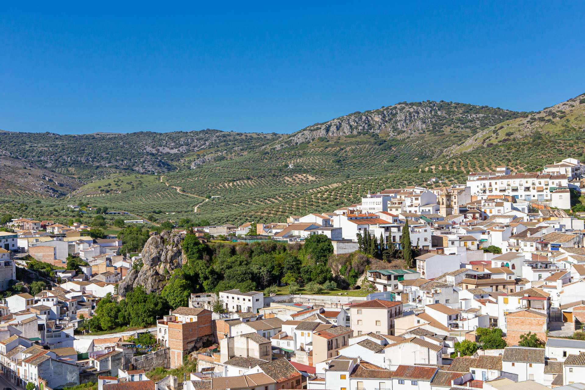
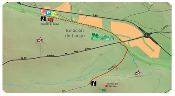
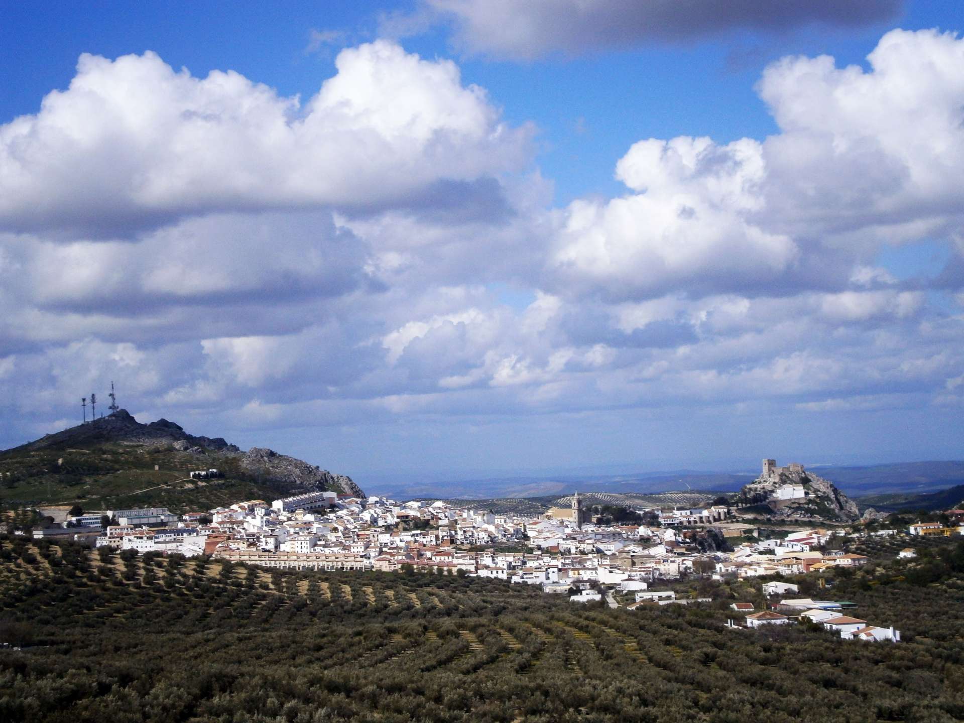
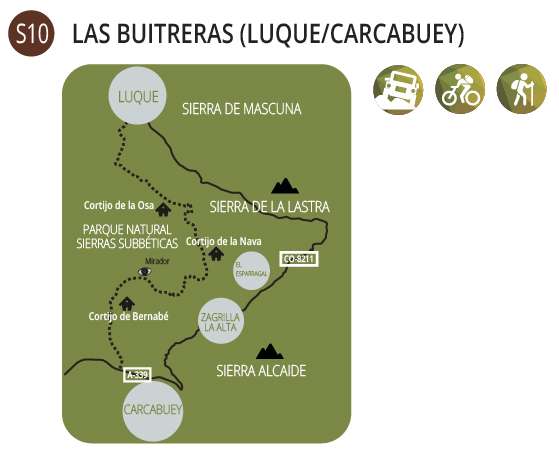
One great attraction of this route is the opportunity to explore two beautiful and picturesque villages, well worth a leisurely visit: Luque and Zuheros. The journey begins in the upper part of Luque, at Paseo de las Delicias, where there is ample space for parking vehicles. At the end of the street, the unpaved road CP-131 begins, marked by the panel indicating the start of the marked trail "PR-A 62 Sendero las Buitreras. Luque – Carcabuey." We will follow this trail until we reach Zurreón Stream, where we will deviate to follow the signs to Fuente del Espino through Cañada del Sastre.
Here is a description of this section of the trail:
"The Las Buitreras - PR-A 62 Trail begins in the town of Luque, which deserves careful exploration before starting the route. The trail starts from the western end of the town, near the municipal pool. From there, we will follow the path of the unpaved CP-131 road that connects Luque to Carcabuey. The trail first enters an olive grove landscape, gradually associating with wild trees and shrubs such as broom, hawthorn, oleander, mastic, or scattered holm oaks. Later on, as we progress, we encounter numerous almond trees that, if the journey is made in February, will delight us with their white and pink flowers. After a slight descent, we arrive at Zurreón Stream, whose banks have led to the appearance of ash, walnut, poplar, and small orchards. In this area is the Almond Tree of the Las Buitreras Trail, a tree classified by the Ministry of the Environment due to its exceptional dimensions. Following the path, we enter a more rocky terrain, where the olive grove is replaced by scrubland with some arboreal holm oaks. In this section, we can access a variant of the route: the Marchaniega path that leads to Fuente del Espino passing through Cortijo de la Osa. In this variant, we will encounter numerous gates that we must close as we pass."
We ascend steeply through Cañada del Sastre along Zurreón Stream to reach Fuente del Espino, closing the gates along the way. The spring is located in a beautiful spot under the limestone ridges of Loma de Abuchite.
Now, off the beaten path, following cattle trails, we ascend to the east to enter Pecho del Canalizo, which, as its name indicates, is a channel or ravine between rocks. Heading south, we climb to the summit of Cerro Abuchite.
So far, the journey has been relatively comfortable, but it is about to change. The route we are going to take through Loma de Abuchite is over rugged limestone pavement where we need to be careful not to twist an ankle. However, taking it slow and patiently, enjoying the vast panoramas from here and walking along the edge of the cliffs of Abuchite, this stretch becomes short and enjoyable.
The privileged location of these mountains, surrounded by olive fields and in the geographical center of Andalusia, allows us to glimpse parts of the provinces of Córdoba, Jaén, Granada, Almería, Málaga, Sevilla, and Cádiz. Distant mountain ranges of the Betic Cordilleras are visible from here, such as the Sierras de las Nieves and Grazalema or Sierra Nevada.
We reach a flat limestone area referred to as Llanada del Cerro on the maps. A group of holm oaks marks the point where we need to turn west, looking for a passage between the cliffs. Here, there is already a trail, somewhat faint, running alongside a fence. Among large holm oaks, the trail leads us to the ruins of Cortijo del Grajal to the northwest. This farmhouse is located in a fantastic setting, below the cliffs of Abuchite and facing Cerro del Charcón, offering views of the valley of Bernabé stream, Lobatejo, and the Rute and Horconera mountain ranges.
From Cortijo del Grajal, we continue northwest on the trail to connect with Colada de Zuheros to Priego in a few meters, following the same direction we have been following. We skirt the northeast slope of Cerro del Charcón, curiously filled with pens, stone piles, huts, and a threshing floor. Along this path, we also have to pass through various gates, ensuring they are properly closed.
In a few meters, we return to the vicinity of Fuente del Espino. However, before crossing the gate that leads us to it, we deviate from Colada to the west through a small path that passes between two farmhouses, fording the Arroyo de las Albercas.
We reach a lane, turning left to the west, leading us to the dilapidated farmhouse of Los Prados del Duque. However, we don't pass through the gate where the lane continues. Below the farmhouse, we follow the wheel tracks descending to the meadow where a poplar grove flanks the nascent Moreno and Zarzadilla stream. These wheel tracks quickly lead us to a track at the height of Cortijo Moreno, also in ruins.
Behind Cortijo Moreno, we continue on a path descending to the west to the impressive Moreno and Zarzadilla ravine. The path ends at the stream's edge, and we ford it. Now we have two options to reach the Río Bailón trail by descending the Moreno stream. One is to follow the narrow path that runs along the right bank of the stream all the time, and the other is to follow the precarious and sometimes confusing path where a buried pipeline runs parallel at a higher level.
We choose the second option, which, if we stay attentive, we won't miss. Occasionally, inspection chambers indicate that the pipeline is beneath them. The trail gradually turns north, leaving the Moreno and Zarzadilla stream ravine, and runs along the Río Bailón. In a few meters, one branch continues in the same direction (where the pipeline goes), and another turns south, descending to the Río Bailón trail.
Now, we follow the marked and signposted trail of Río Bailón to the north, to the right, downstream, towards Zuheros. Undoubtedly, this river and trail are a great marvel of this Natural Park. The description provided by the Visitor's Window of the Natural Spaces of Andalusia about this trail is as follows:
"Throughout this trail, we will cross the limestone massif of Sierra de Cabra, accompanying Río Bailón from its source to its arrival at the Depression of Guadalquivir, north of Zuheros. We will explore landscapes of enormous beauty that water has shaped on limestone rocks for thousands of years; rocks that formed in the sea, about 170 million years ago, and today constitute the mountains.
The diverse karst landscape is one of the park's greatest values, with the presence of virtually all geological forms resulting from the dissolution of limestone rocks. Thus, caves, grottoes, poljes, chasms, sinkholes, ledges, gorges, springs... accompany us throughout the journey.
Of all these karstic formations, the route's spotlight is shared between the Poljé de la Nava and the Canyon of Río Bailón, two geological gems that we will discover today.
This trail represents one of the main attractions of the Geopark. The Sierras Subbéticas Natural Park became part of the European Geoparks Network in 2006, aiming to guarantee the conservation and dissemination of Geological Heritage, while promoting local development through geological tourism."
The Río Bailón trail takes us to the beautiful and picturesque village of Zuheros, a white village dominated by its castle, Sujayra, and the remains of a Renaissance palace. After strolling through the narrow streets of the village, we look for the road leading to the Cueva de los Murciélagos, at the highest part of it. Upon reaching the road, we follow it towards the cave, to the right, and after a tight curve, we exit onto a lane to the northeast.
We pass by some large almond trees, possibly centuries-old, and when we reach some holm oaks, we take a path to the right. This path, with a steep ascent and a zigzagging route, leads us to Dehesa de los Tallones, north of Cerro de los Cangilones. We are following the Vereda de los Cangilones, which connects the villages of Zuheros and Luque.
Upon reaching an area filled with stone walls, indicating that this area was either cultivated or sought pasture for livestock in the past, the trail becomes less defined. However, we continue on cattle trails, first heading north and then west, and as we begin to descend, the trail becomes more distinct again.
We pass under the remains of the Vista Alegre farmhouse, cross a gate, and under Pecho de la Corneta, we enter the olive groves surrounding Luque, with only a few meters left to reach the urban center of the town, right where we started our morning walk.

