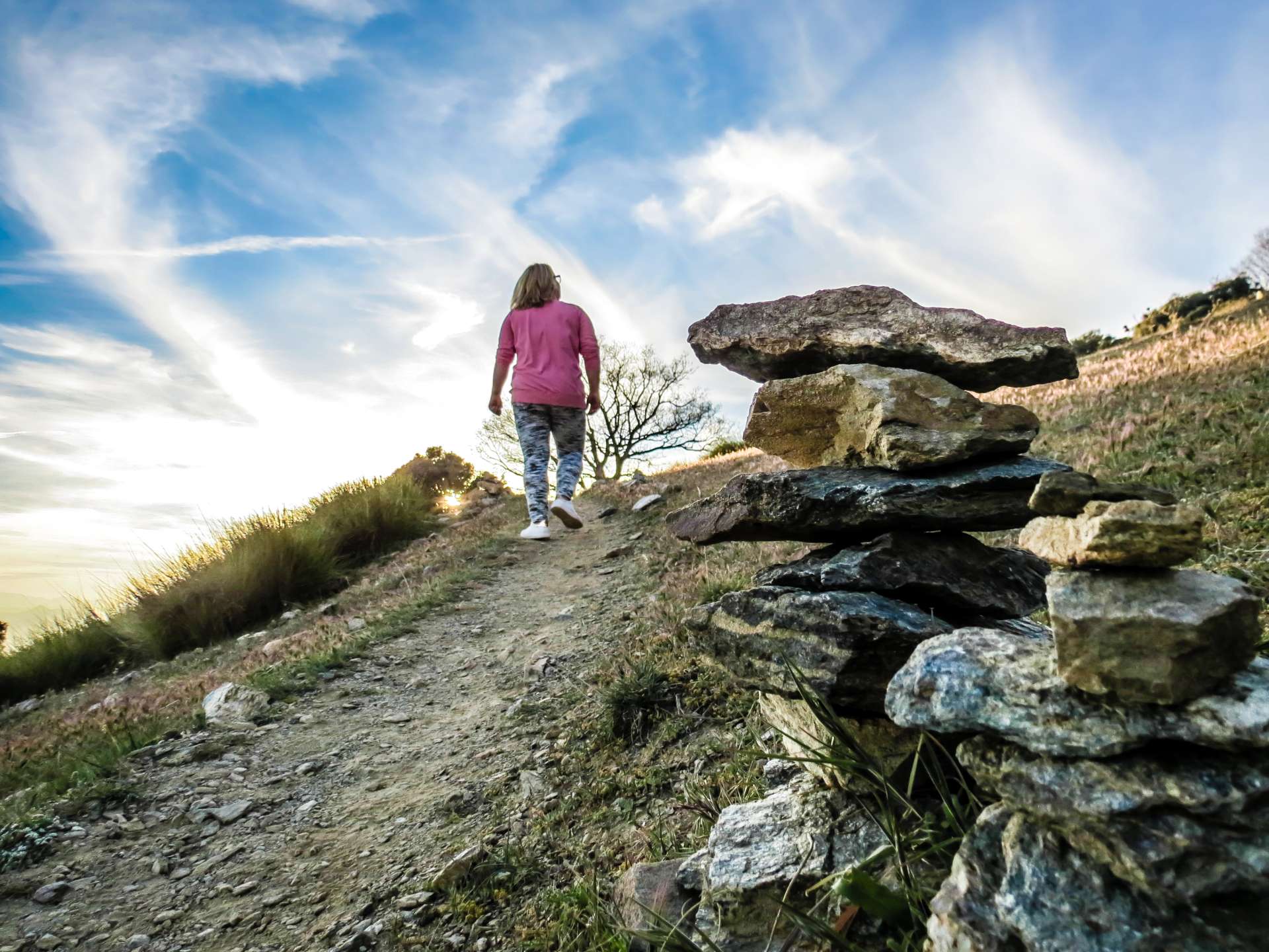
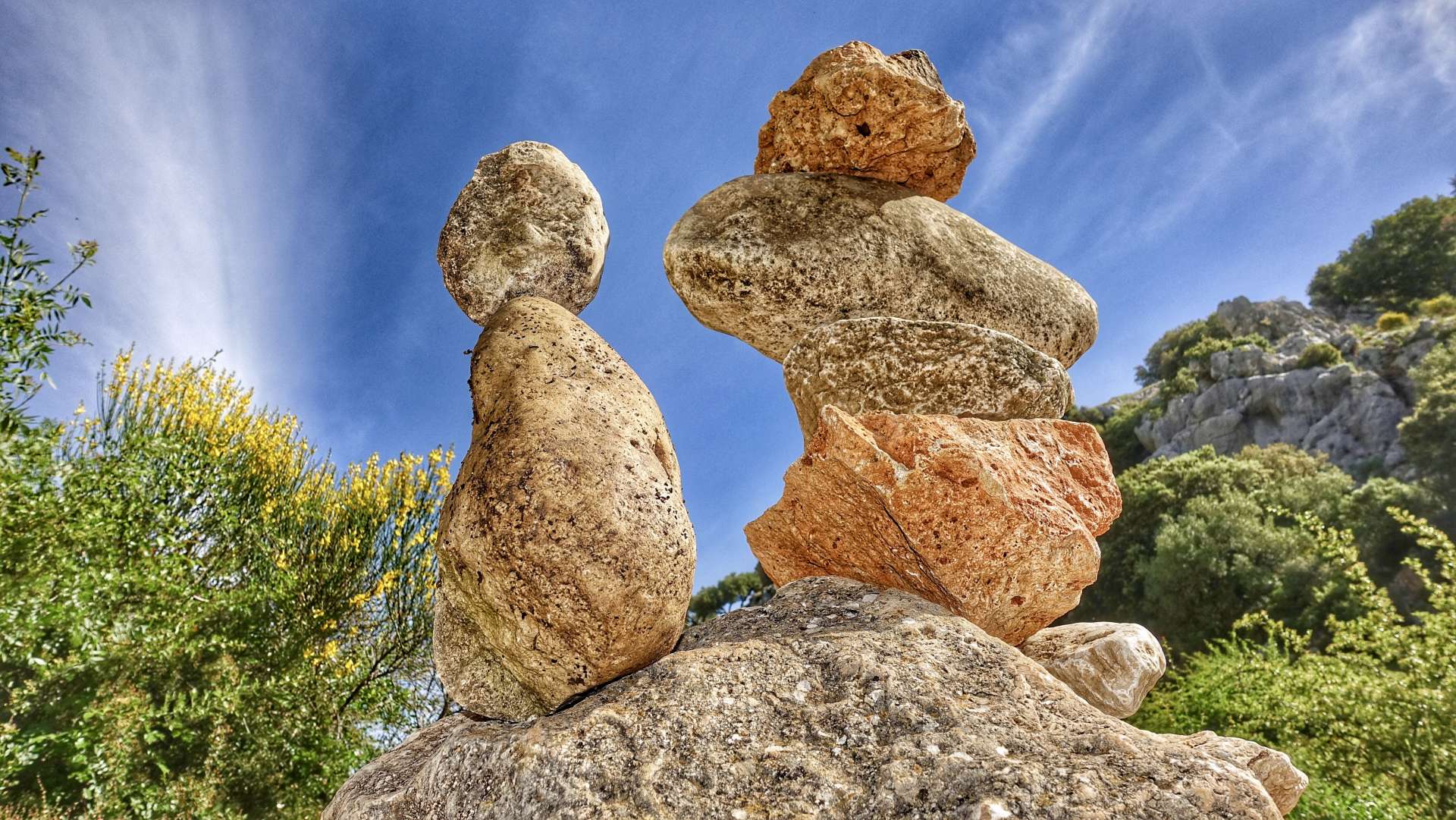
The Sierras Subbéticas are located in a mountainous region to the south of the province of Córdoba, in the heart of Andalusia. They dominate the grey peaks alongside the changing green of olive crops and the white of villages integrated into the rocky landscape in a unique balance of beauty.
The limestone, shaped by water over thousands of years, presents an interesting karstic relief with a great diversity of elements (poljes, lapies, sinkholes, chasms, and more than 800 cavities). Additionally, the rocks of the Sierras Subbéticas carry within them a history of over 200 million years. Significant chapters of the complex history of the Tethys Sea are recorded in the sediments, highlighting ammonites, ancient animals with spiral shells, which, due to the abundance and diversity of their fossilized forms, constitute the undisputed emblem of the Sierras Subbéticas Geopark.
The Sierras Subbéticas were declared a Natural Park in 1988, primarily for their geological features. It is composed of 8 municipalities: Cabra, Carcabuey, Doña Mencía, Iznájar, Luque, Priego, Rute, and Zuheros. In 2006, they became part of the European Geopark Network and the Global Geopark Network, endorsed by UNESCO.
The Sierras Subbéticas Geopark also features Truffle, Europe's first mycological garden located in the village of Zagrilla.
THE 10 HIGHLIGHTED GEOSITES OF THE SIERRAS SUBBÉTICAS GEOPARK
1. The Lanchares Lapiaz (Cabra) coordinates: 37.8353 / -4.149964
Located in the Sierra de Cabra, it showcases an irregular rocky landscape shaped by the action of rainwater on limestone.
Accessible on foot, by bicycle, or by vehicle.
2. The Cabra Peak (Cabra): 37.8396 / -4.149966
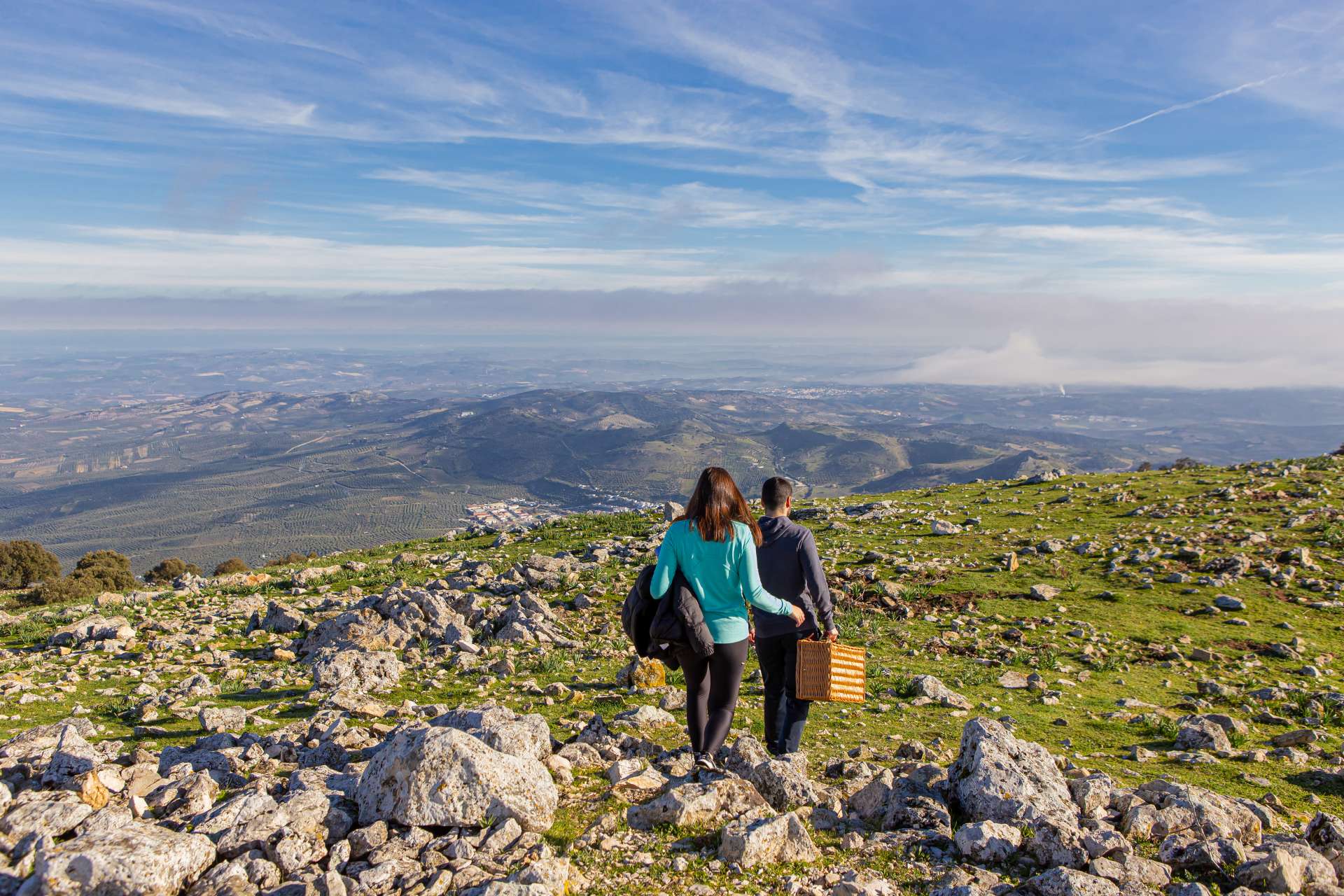
In the geographical center of Andalusia, the Cabra Peak offers unique views of three morphostructural units: Sierra Morena, the Guadalquivir Basin, and the Betic Cordillera. Its spectacular viewpoint is known as the "Balcón de Andalucía."
Accessible on foot, by bicycle, or by vehicle.
3. The Nava de Cabra Polje (Cabra): coordinates: 37.8396 / -4.149973
Also in the Sierra de Cabra, there is a large plain, a valley closed off by mountains whose origin is closely related to limestone dissolution.
Accessible on foot or by bicycle. (Permission required at the Santa Rita Visitor Center)
4. Bat Cave (Zuheros): coordinates: 37.5406603,-4.3036374
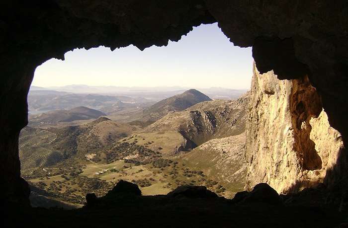
The Bat Cave is one of the underground gems of the Geopark, declared a Natural Monument in 2001. It is fully equipped for visits, featuring an archaeologically significant site and Neolithic cave paintings. Reservations: 957 694545 or turismo@zuheros.es
Access to the cave: on foot, by bicycle, or by vehicle.
Interior of the cave: on foot.
5. Ecomuseum of the Bat Cave (Zuheros): coordinates: 37.5342461,-4.3112978
Dedicated to the Bat Cave Natural Monument, it is located in the vicinity of this space. It houses a specific interpretation of the karst, an essential complement for the subsequent visit to the Bat Cave.
6. Rio Bailón Canyon Viewpoint (Zuheros): 37.5342461,-4.3112978
Located on the road to the Bat Cave, it offers splendid views of the Rio Bailón Canyon.
7. La Tiñosa Peak (Priego de Córdoba): 38.9461, -4139611
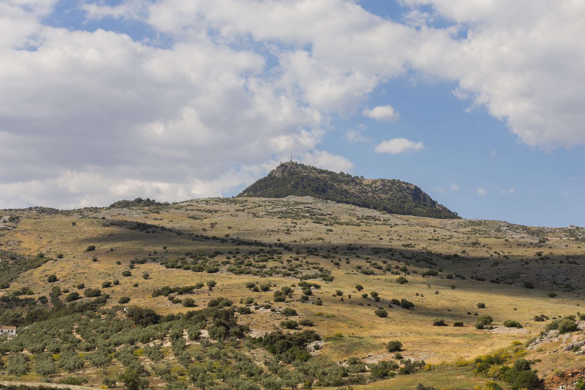
La Tiñosa Peak is the highest point in the province of Córdoba at an altitude of 1,570 meters. During the ascent, one can observe features of the landscape and geological elements of great interest, including rocks formed in very different ages and contexts. Notable features include the Periglacial Cake (38.9237 / - 4139611) and the Morrión Cave.
8. Visitor Center of the Sierras Subbéticas Natural Park "Santa Rita": coordinates: 37.4409771,-4.3315544,13
It features numerous interactive elements on the natural and cultural heritage of the Sierras Subbéticas. A significant part of the space is dedicated to geological resources and the Geopark. A giant sculpture of an ammonite welcomes visitors, symbolizing the importance given to geological heritage in this area.
9. La Hoz River Springs (RUTE): 37.314010, -4.331663
The most abundant springs in the Sierras Subbéticas in a spectacular geological setting.
10. Lanchar de Rute: A karstic landscape in the southern part of the Geopark. 37°19'44.7"N 4°19'56.3"W

