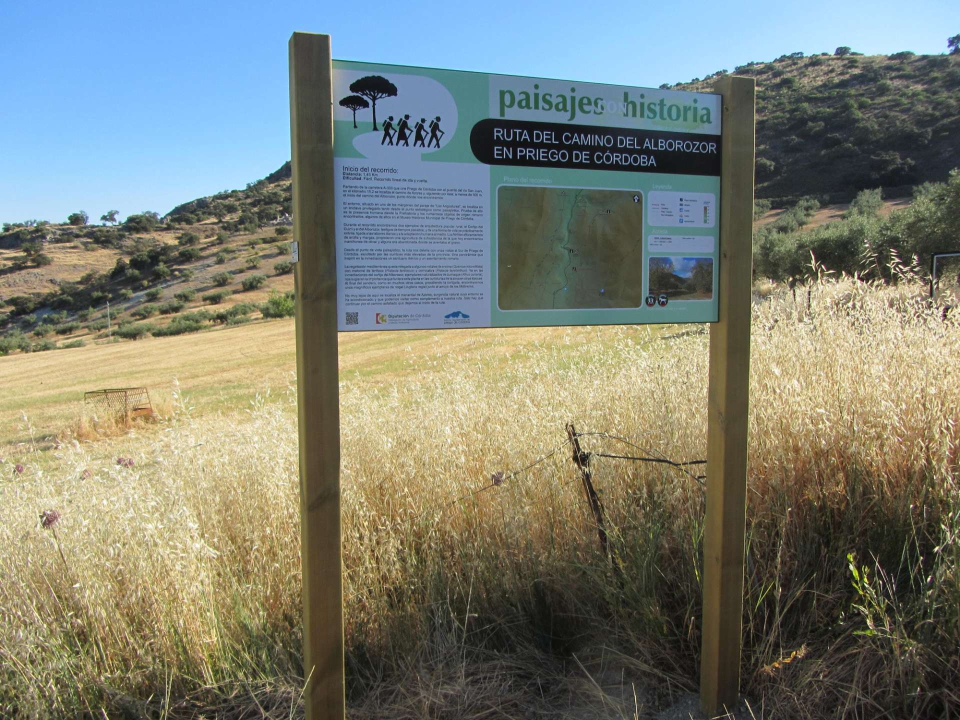
Route Features:
Difficulty: Medium Distance: 1.45 km Interest: Ethnographic/Natural/Historical/Landscape Typology: Linear Start in the urban center: No
The Route:
The environment, located on one of the edges of the "Las Angosturas" area, is situated in a privileged enclave both strategically and scenically. Evidence of human presence dates back to Prehistory, with numerous Roman artifacts found, some of which are displayed in the Municipal Historical Museum of Priego de Córdoba.
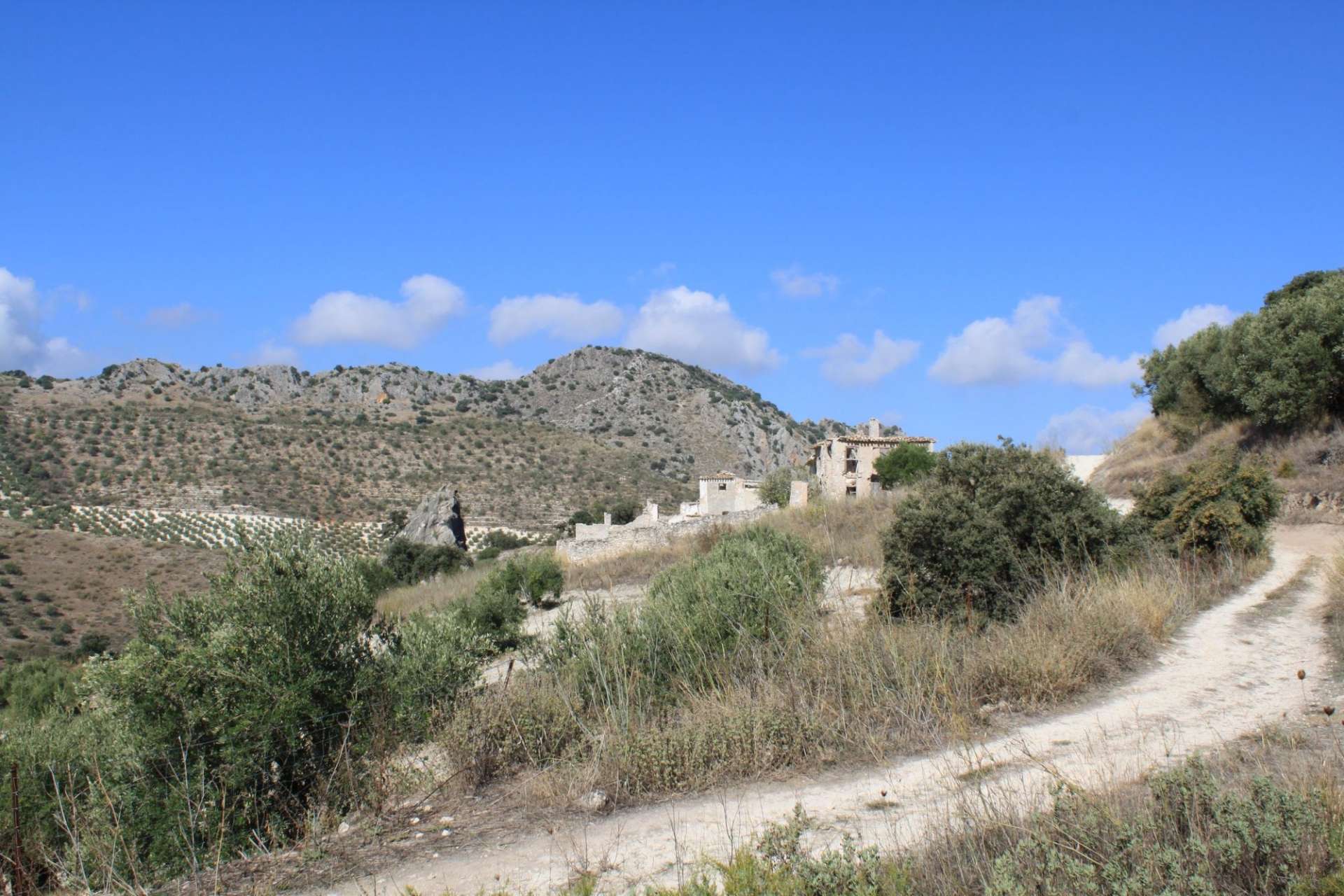
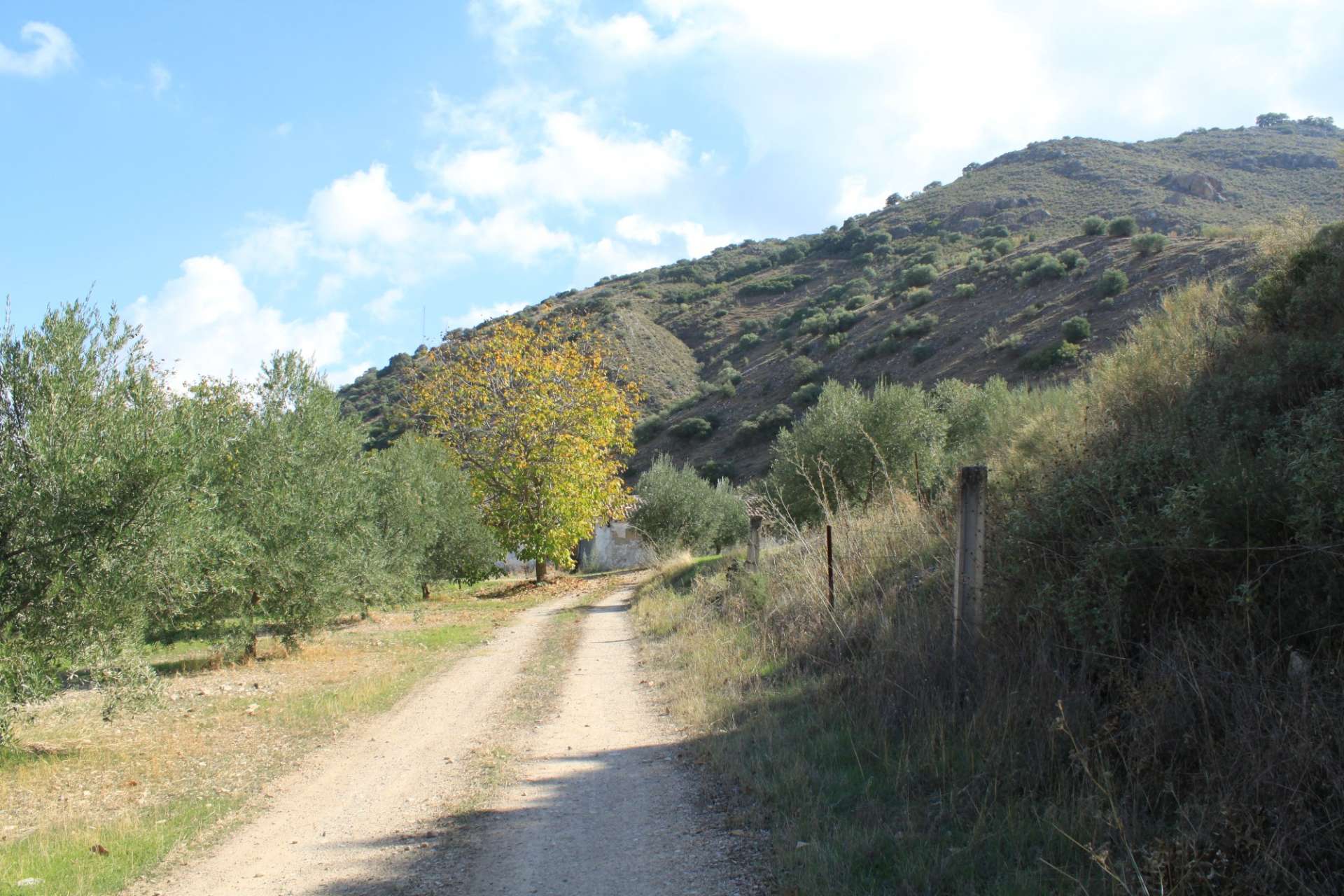
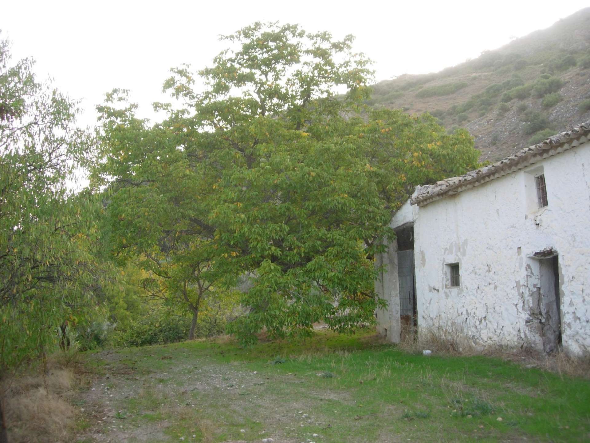
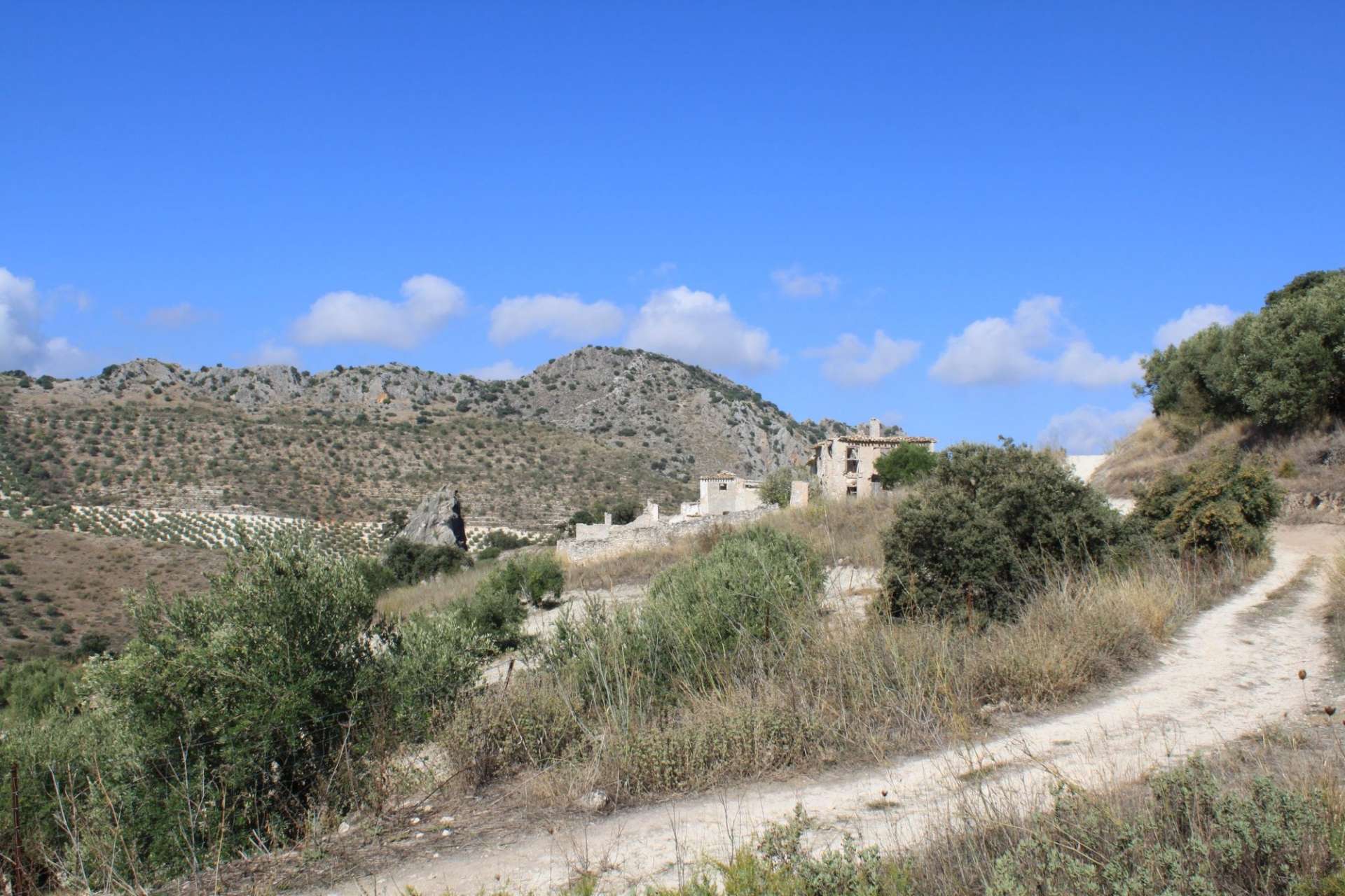
During the journey, you will encounter two examples of rural popular architecture: the Cortijo del Guirri and the Cortijo del Alborozor. These bear witness to bygone times and a way of life that is nearly extinct, closely tied to daily tasks and human adaptation to the environment. The fertile outcrops of clay and marl facilitated subsistence agriculture, leaving patches of olive groves and abandoned threshing floors where grains were winnowed.
The popular architecture in rural areas is characterized primarily by its adaptation to the environment, as well as its functional and practical nature. In the Subbética region, numerous farmsteads are scattered, strategically located for agriculture and livestock, often near springs or wells.
Construction materials used are based on readily available local resources: limestone, gypsum, lime and sand mortar, clay, poplar or poplar beams, reeds, curved ceramic tiles, etc. Thick walls were built with limestone bound with mortar or gypsum. These walls insulated the interior of the houses from the weather, providing protection from the cold in winter and the heat in summer. Whitewashing or limewashing the wall surfaces, done once a year, further contributed to this function and protected the exterior from the erosive effects of rain and other weather conditions.
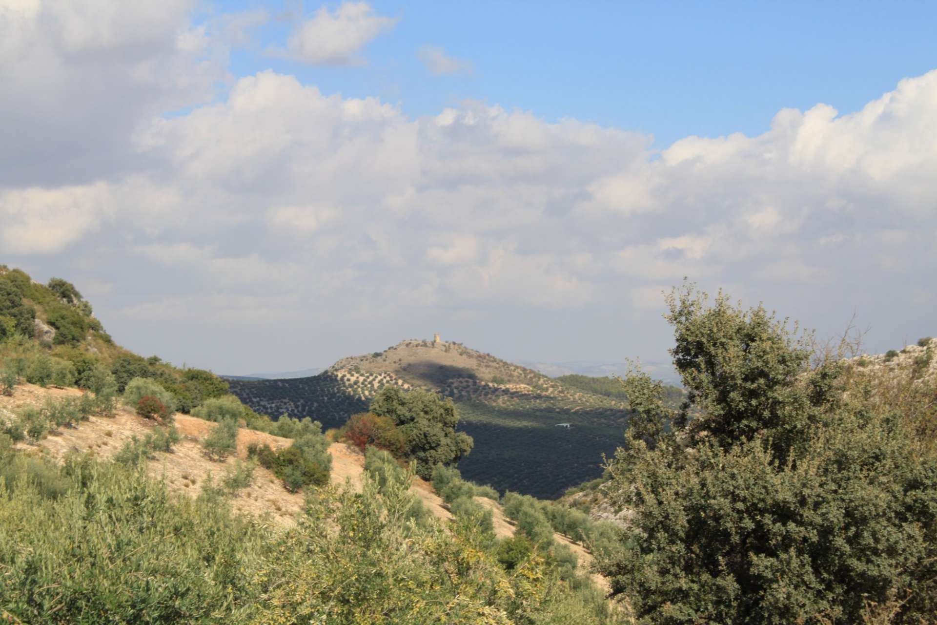
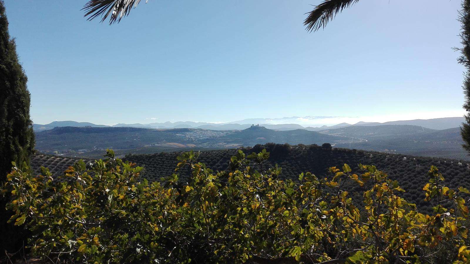
From a landscape perspective, the route treats you to views to the south of Priego de Córdoba, surrounded by the highest peaks in the province. This panoramic view inspired the establishment of an Iberian sanctuary and a Roman settlement in the vicinity.
The southern panorama of Sierra Horconera and Sierra Alhucema displays the silhouette of the highest peaks in the province of Córdoba. Like a giant of dolomitic rock, the upheaval advances northward, revealing valleys and mountain passes where marly limestones with rich and palatable pastures are found.
Historically, these mountain passes have been essential for connecting the southern slope of the mountain range with Priego de Córdoba and Carcabuey. Puerto Mahina, at an altitude of over a thousand meters, preserves millions of traces left over centuries of livestock and human traffic. Puerto Cerezo, much higher, represents the natural pass dividing Sierra Alhucema and Pico Bermejo (1,474 m).
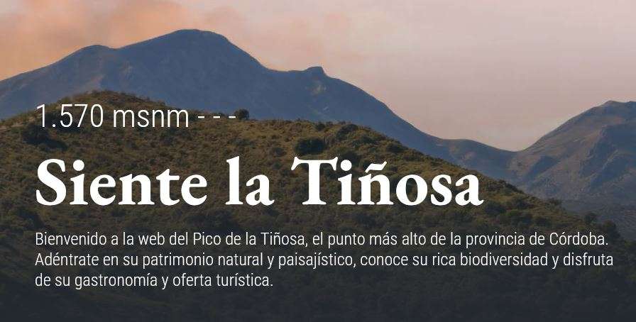
La Tiñosa (1,570 m) is the highest peak in the province of Córdoba. Observing these masses, one can imagine the colossal forces that pushed these lands from the depths of the sea to exceed fifteen hundred meters at this point.
At the foot of this mountainous complex lies Priego de Córdoba (city of water and Baroque). Taking advantage of the discontinuity between permeable limestone and less permeable marly limestones, springs such as Fuente del Rey emerge. This spring gives its name to one of the best-known spaces in the town of Priego, famous for sculptures adorning the pond, such as the lion fighting the serpent or Neptune and Amphitrite riding a chariot that emerges with vigor from the waters. The waters flow continuously and uninterrupted from 139 spouts for centuries, hardly diminishing even in the worst drought periods.
Observing this panoramic view helps understand the dynamics of rock and stone and how these elements have shaped the landscape and, of course, the way of life of its people. Processes that occur beneath the apparent landscape that unfolds before our eyes.
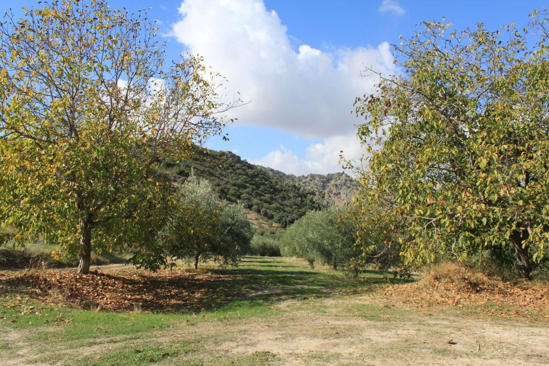
Mediterranean vegetation is confined to some stands of holm oak (Quercus rotundifolia) with mastic (Pistacia lentiscus) and terebinth (Pistacia terebinthus) shrubs. In the vicinity of the Cortijo del Alborozor, naturalized specimens of sumac (Rhus coriaria) suggest the importance this plant had in tanneries in the area in other times. At the end of the trail, as in many other cases, overlooking the farmstead, you will find magnificent specimens of walnut (Juglans regia) next to the Molineros stream, serving to insulate from the elements and erosive effects of rain.
Not far from here is the Azores spring, a natural spring whose surroundings have been conditioned and can be visited as a complement to our route. Just continue along the paved road that we left at the beginning of the route.
The one from Azores with water for a (millstone), a short half-league to the North.
Directions:
From Córdoba, follow the N-432 towards Granada until you pass km 351, then take the exit onto the A-433 towards Priego de Córdoba. Once past km 14, take the exit to the left towards Azores. About 220 meters further, you will reach the beginning of the route.
From Córdoba, follow the A-45 towards Málaga until you pass km 55, then take exit 56, towards Lucena (north) on the A-318. On this road, reach km 47, where you will choose exit 47, towards Cabra (east) - Alcalá la Real on the A-339. Continue on the A-339 until you pass km 26, where you will take the exit to the right towards Jaén, on the A-333. Follow this road until you pass km 15, where you will turn right towards Azores. Approximately 220 meters later, you will reach the beginning of the route.
Source: https://www.dipucordoba.es/contenidos/46809/ruta_del_camino_del_alborozor_en_priego_de_cordoba


