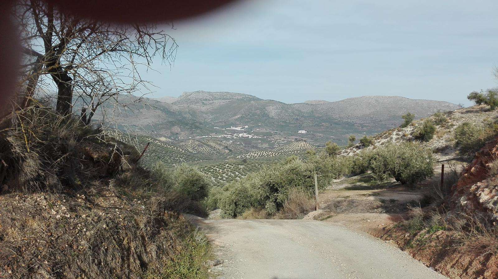
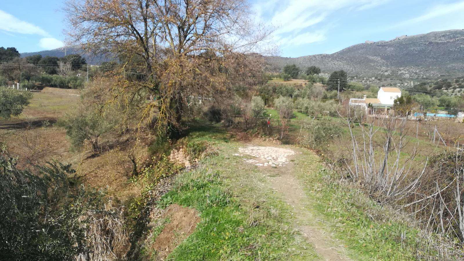
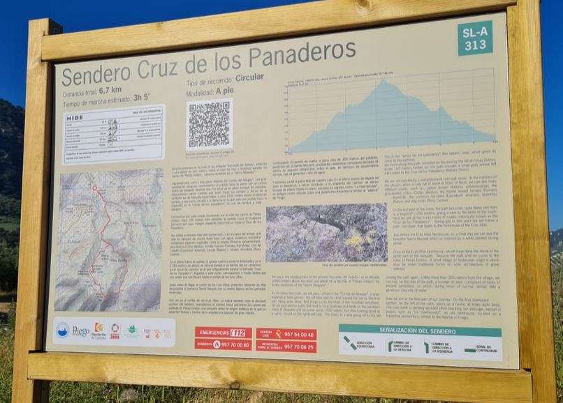
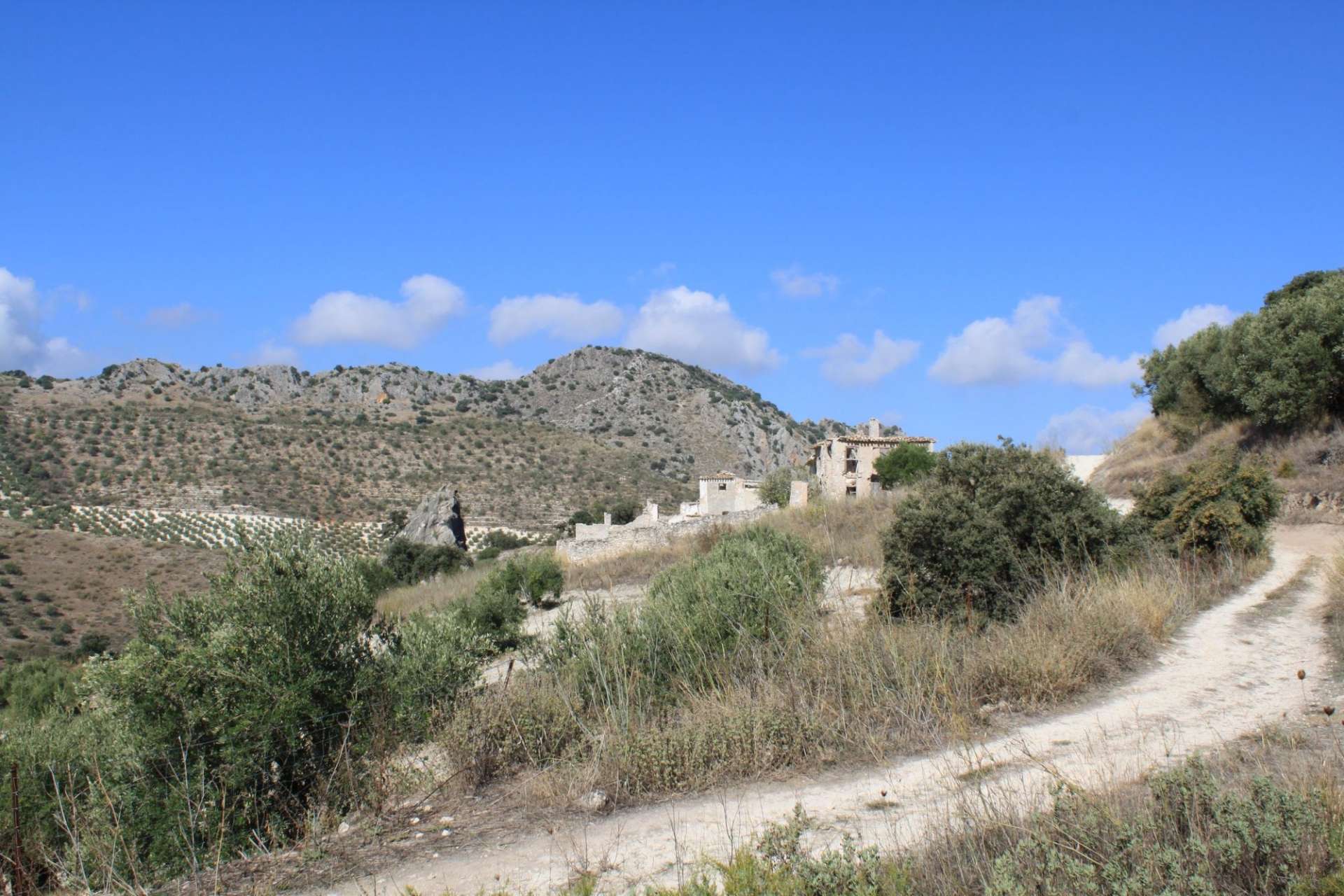
We will take the Los Hoyos Path to exit the urban center of Priego de Córdoba, traversing several kilometers among scattered buildings and fields where olive groves dominate prominently, following the path of the Colada from the Hoyo road to Zagrilla. Extreme caution is necessary when crossing the A-339 road, and we will continue towards Zagrillas, crossing Los Hoyo, the place that gives the path its name. Before reaching Zagrillas Baja, we will turn off and take a section of the CO-8211 road, exercising caution due to the presence of road traffic. A few meters further, we will turn again and enter paths in the Sierras Subbéticas Natural Park, combining areas of natural vegetation typical of the Mediterranean scrubland and agricultural fields, until we cross the road from Cabra to Alcalá la Real (A-339) through an underpass.
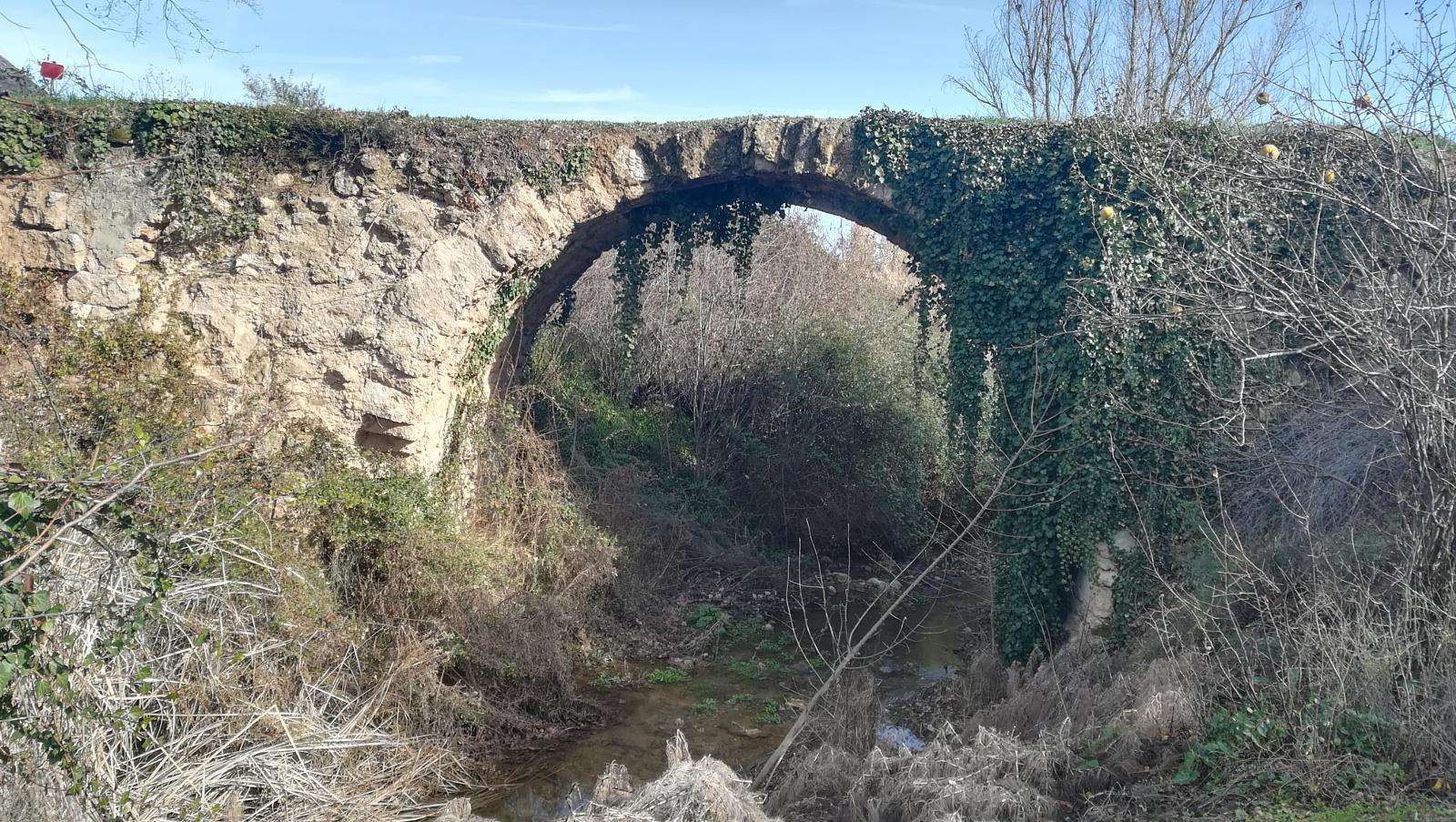
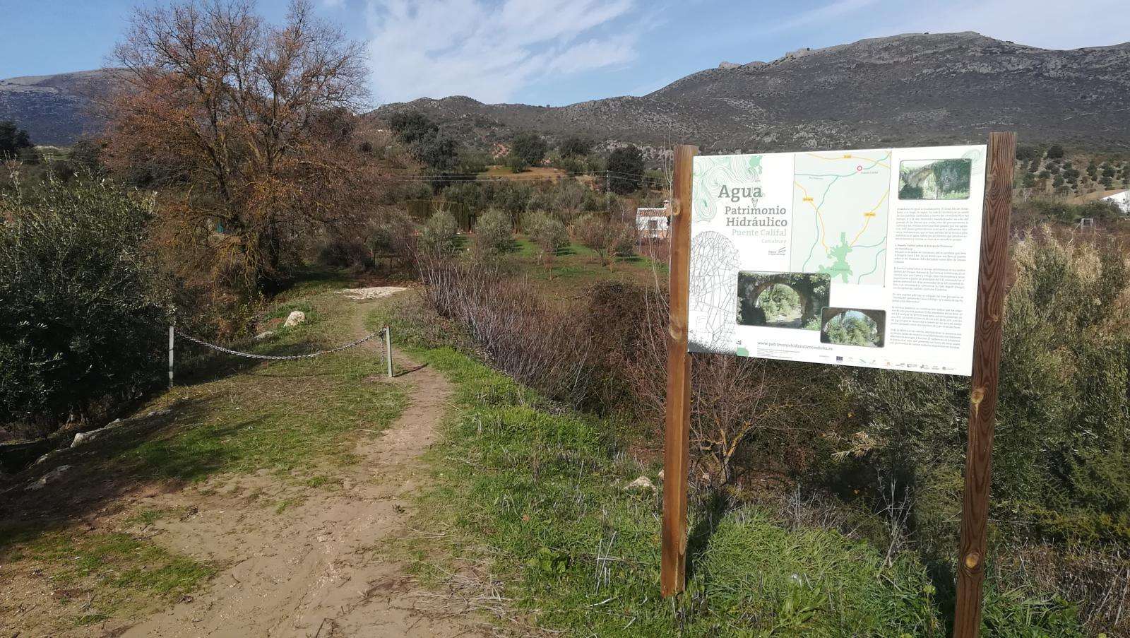
At this point, it is highly recommended to visit the Caliph's Bridge, dating back to the 10th century, also known as the Stone Bridge, located in Carcabuey, within whose municipal area it is found.
From here, we will again cross the A-339, this time through a level crossing with all possible precautions, and take an olive path that will lead us to the Luque path, called CV-131, which we will ascend towards Nava de Luque, coinciding with the homologated PR-A-62 trail. This is one of the most attractive parts of the route, where the path will take us to one of the cliffs where the colony of vultures of the Sierras Subbéticas is usually spotted, known as Las Buitreras.
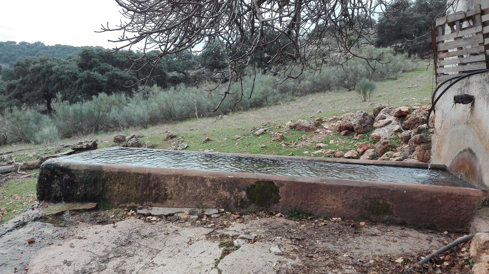
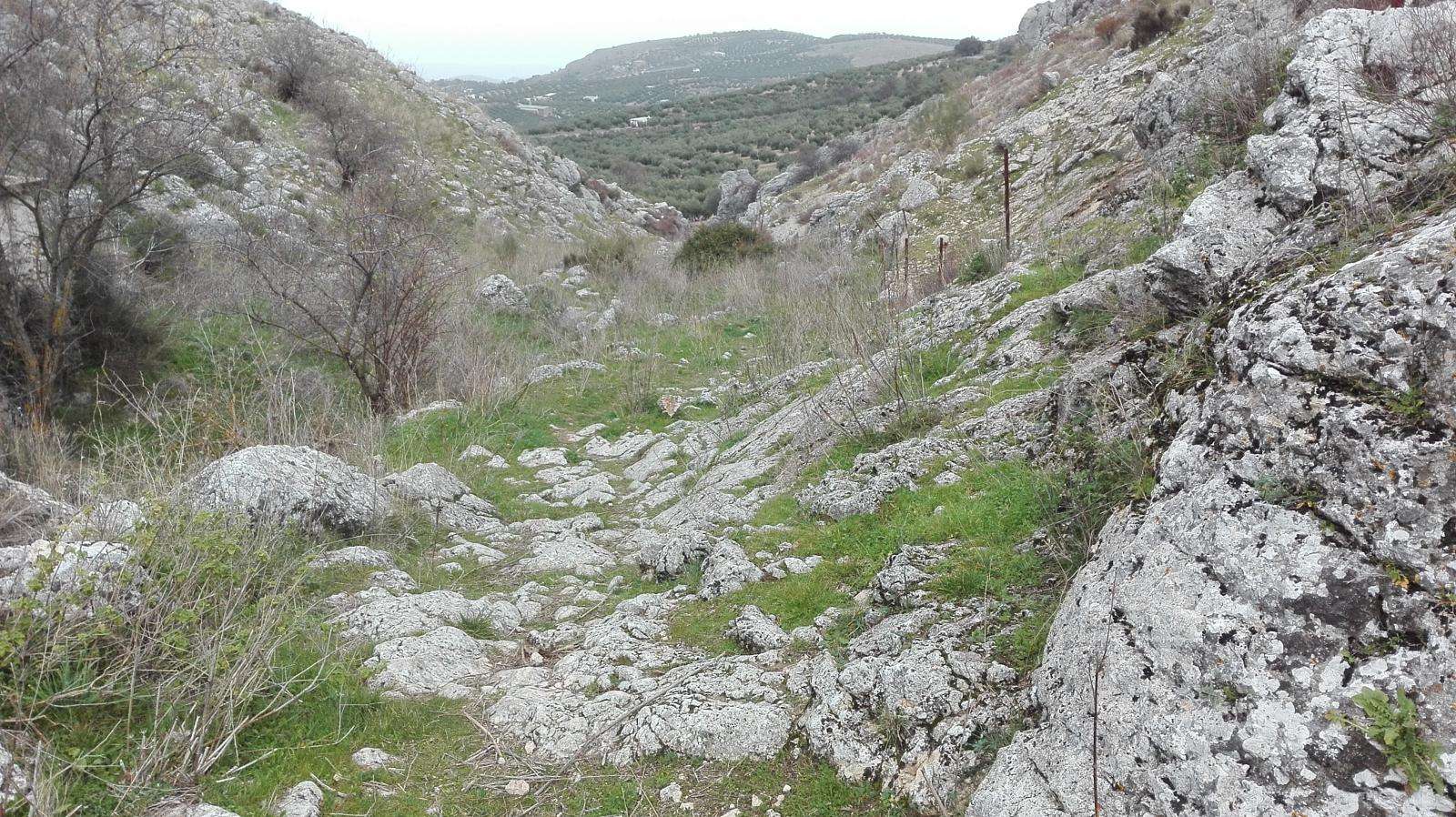
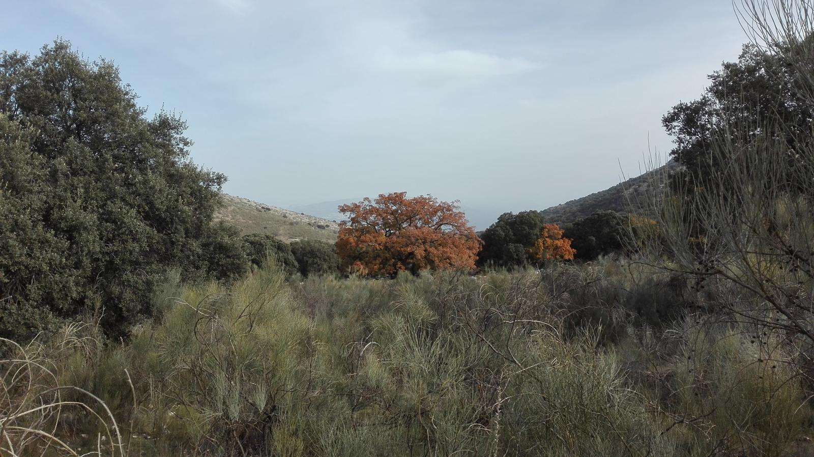
The typical natural vegetation of the Mediterranean forest will replace the olive groves, and we can admire the beauty of this Natural Protected Area through its karstic geology, the water sources that give life to livestock pillars, and even the nearby presence of the Dolmen of Lastra.
From Nava de Luque, we will descend to the vicinity of Luque, where we will turn off to enter the town through the Path of Prado Pomar, also known as the Path of the Queen's Fountain, which we can also visit.
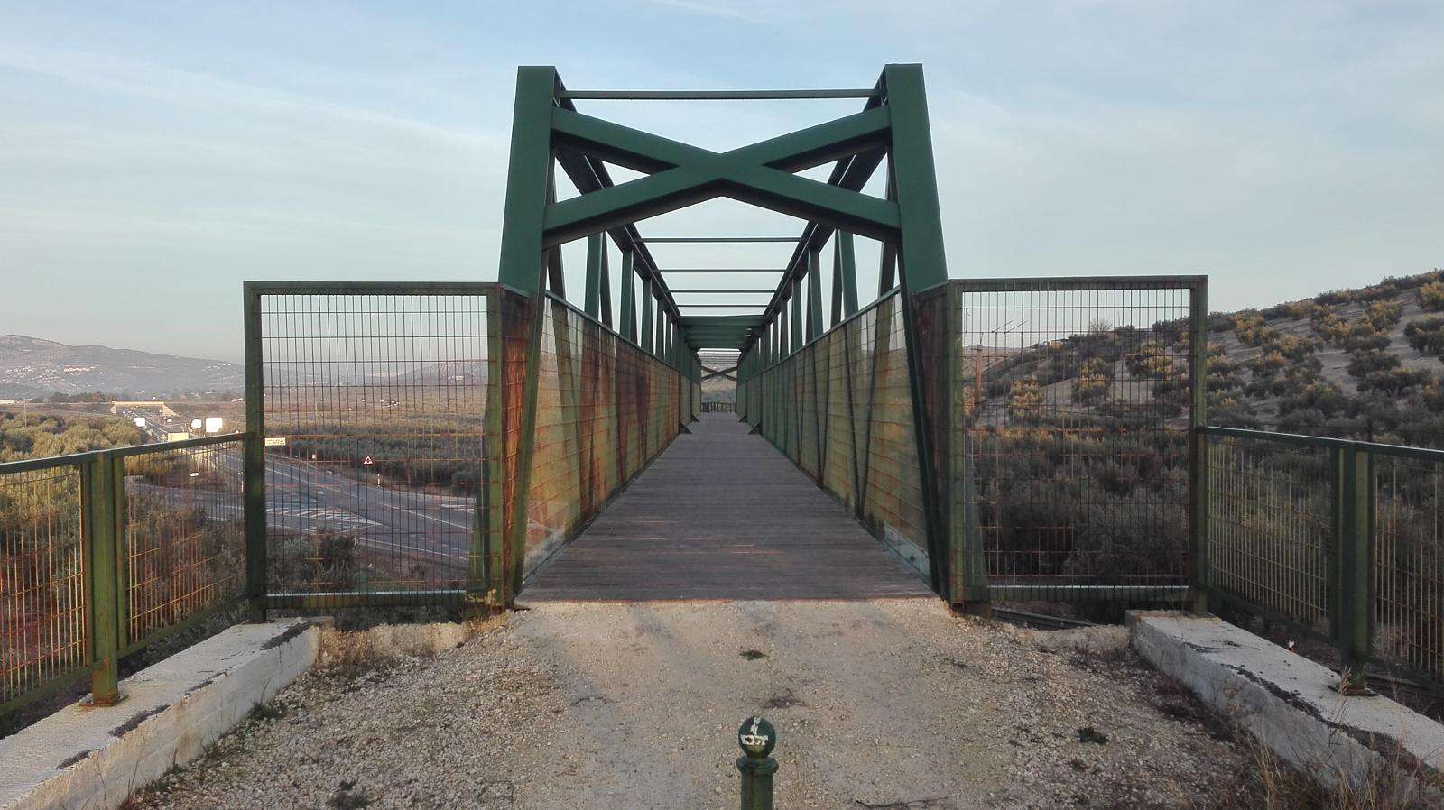
To leave Luque, we will coincide with the Colada de la Fuenseca, a spring that we will pass on the way to the old train station of the town. Once at the station, we will cross the old iron bridge to take the Guadajoz Greenway, which starts here and connects the Olive Greenway with the city of Baena.
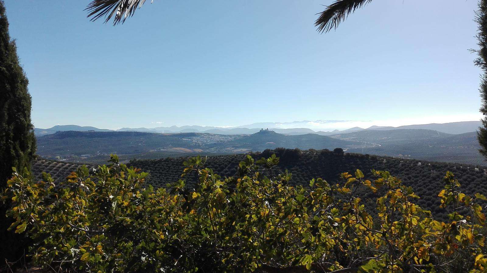
The road to the end of the stage is pleasant, among olive groves and hills, offering the opportunity to see Baena from a fantastic perspective.
DESCRIPTION OF THE NATURAL ENVIRONMENT
The main environmental aspect of this stage is undoubtedly the Sierras Subbéticas Natural Park. Here, the route offers us the opportunity to thoroughly explore this natural reserve and show us many of the values that have led to its protection within the Network of Protected Natural Areas, as well as its recognition as a Geopark.
For this purpose, we will use some of its main public roads, paths that have allowed communication between the villages that are part of this natural park since time immemorial, such as the connecting path between Carcabuey and Luque.
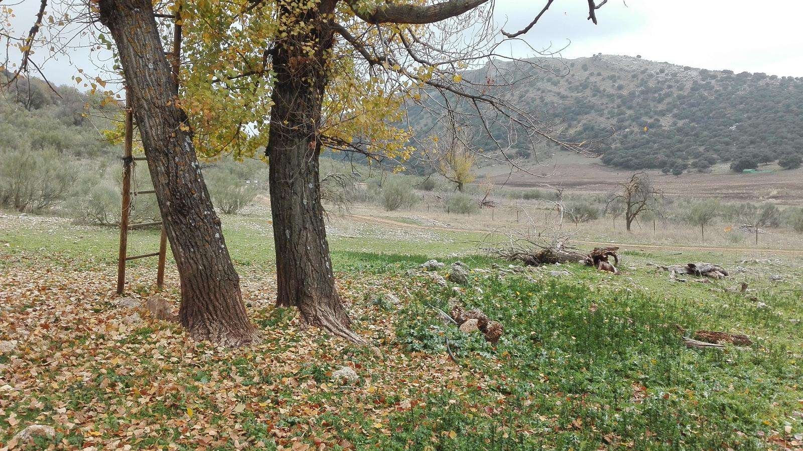
In addition, the landscapes that we can see during this stage make it one of the most beautiful parts of the entire Caminos de Pasión trail. The views of El Hoyo de Priego and the Sierra Horconera, the proximity to steep cliffs with the constant presence of the colony of griffon vultures overhead, the mixed forests of holm oaks and cork oaks, the bizarre forms of karstic morphology, or the walk through La Nava de Luque and the surroundings of Cortijo de Lastra, where we can be close to its spring and the dolmen of the same name, are worth following this route.
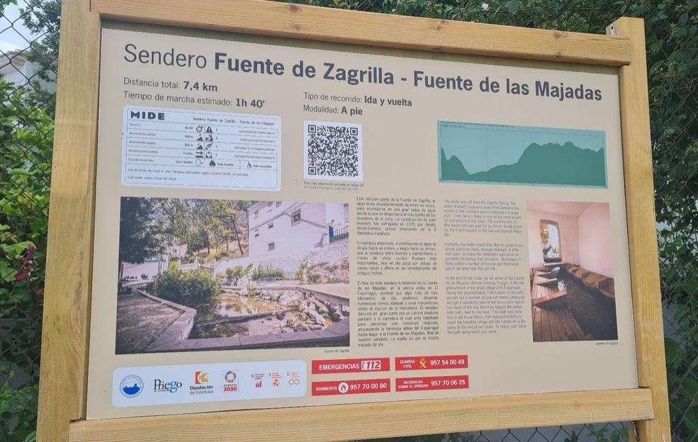
Moreover, there are many points of natural interest that are worth visiting, even if deviating from the proposed path of this route. We can highlight the numerous and abundant water sources that drain the interior of these limestone mountains, such as the spring and laundry of Zagrillas or the Fuente del Rey in the town of Priego itself. Also, within the municipal area of Priego, we can visit points of geological interest interpreted by the natural park itself through interpretation panels, such as El Duende de la Milana (a mysterious and unpredictable spring), the occurrence of radiolarites at the foot of the Tiñosa, the periglacial cake on the slopes of this peak, or the location of the urban center of Priego on a travertine slab. In the municipal area of Luque, we can observe the overthrust front that raises the mountains of the natural park above the materials that gave rise to the Guadalquivir Valley, as well as the nearby presence of the Morellana stream, a stream carved in carnelians.
After leaving the limestone materials of the mountains and entering the Cordovan countryside, the impressive natural vegetation will give way to an overwhelming dominance of olive groves. However, in this environment, there are also interesting reasons to deviate from the marked path and visit natural sites of relevance located within the municipal area of Baena, such as the Vadomojón reservoir, the Yeso Cave, or the Guadajoz River, a tributary of the Guadalquivir.
CAUTION
In this stage, the main danger for users is crossing asphalted lanes and crossing roads with heavy road traffic. Of particular interest in this regard is the intersection with the A-339 road (Cabra - Alcalá la Real) and the section that runs along the access road to Zagrillas (CO-8211). In such cases, it is always recommended to ride on the left side of the road, wear light and easily identifiable clothing, carry some type of reflective or luminous element, and avoid crossing these sections from sunset to sunrise.
HIGHLIGHTS
The walk through the Sierras Subbéticas Corobesas Natural Park is the most beautiful and interesting part of this stage. We will be fully immersed in this natural reserve and can enjoy the diversity of landscapes and elements of the natural heritage it houses. Thus, from the moment we start the ascent to the cliffs of Las Buitreras until we descend to Luque, passing through the Navas of this town, its great biodiversity and variety of georesources will open up before us.
BASIC DATA PRIEGO DE CÓRDOBA
Location of the municipality: Priego de Córdoba belongs to the Subbética Cordobesa region, and part of its municipal area is within the Sierras Subbéticas Cordobesas Natural Park. It borders the municipalities of Almedinilla, Carcabuey, Fuente Tójar, Iznájar, Luque, and Rute, within the province of Córdoba, as well as Algarinejo and Montefrío in Granada and Alcalá la Real and Alcaudete in Jaén.
Average altitude of the main population center: 645 meters above sea level
Coordinates of the town hall: 37.438866, -4.202767 Surface area: 288.1 km2
Number of districts: 14
Population in 2016: 22,855
Climate data: We are in a continental Mediterranean climate with an average annual temperature of about 15 °C and an average annual precipitation of 600 to 900 mm, measured around Pico Tiñosa.
BASIC DATA BAENA
Location of the municipality: Baena is the capital of the Guadajoz Capiña Este de Córdoba region, located in the southeast of this province and bordering the municipalities of Cabra, Cañete de las Torres, Castro del Río, Doña Mencía, Luque, Nueva Carteya, Valenzuela, and Zuheros, within the province of Córdoba, as well as Alcaudete, Martos, Porcuna, and Santiago de Calatrava in Jaén.
Average altitude of the main population center: 427 meters above sea level
Coordinates of the town hall: 37.618585, -4.322598 Surface area: 362.3 km2
Number of districts: 2
Population in 2016: 19,782
Climate data: Baena is divided between two climate zones, the continental Mediterranean and the continental Mediterranean climate, with an average annual temperature of 16 °C and an average annual precipitation ranging from 500 mm in the driest areas to 900 mm in areas near the Sierras Subbéticas Cordobesas.


